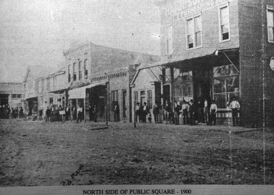
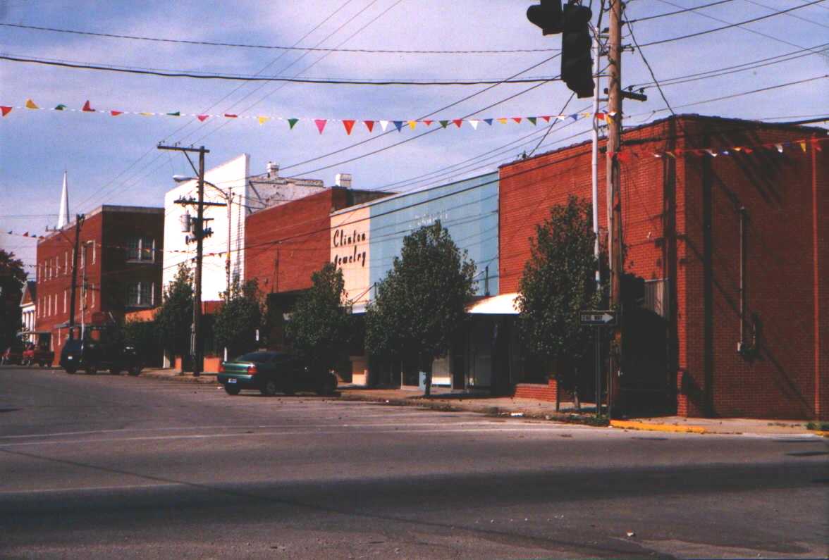
NORTH SIDE OF PUBLIC SQUARE, ALBANY, KENTUCKY 100 YEARS LATER
Picture on left was made in 1900, picture on right is same street one hundred years later in the year 2000
CLINTON COUNTY & ALBANY
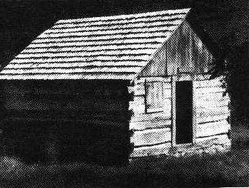
As the early settlers to the East Coast begin to move west looking for new opportunities and a better life they found their way through the Cumberland Gap. Other travelers and hunters had been through this area before but the first to settle in this area of Kentucky was Thomas Stockton, Sr. In 1791-92. He settled in the valley at the foot of a mountain range and took up 200 acres of land that had been granted to him by the Commissioners for Settlement. This valley was called Stockton Valley, later Duvall Valley. William Wood surveyed the land. Soon other families, headed by William Wood, George Smith and others, joined Stockton. A Baptist minister, Isaac Denton, came in 1798. After building a rough log house on his 200 acres of land, he and others organized the first Baptist church in 1802. It was built on a clear creek and they named the church Clearfork. ………… An acre of land was set aside for a school known as Clearfork School.
.
As more people came they felt a need for a courthouse, which they built not far from Clearfork Church in the Peoli community. This was a rough log building. The population grew and a town was needed. Robert Cross, a large landowner, gave a tract of land one-quarter mile square for a new town. Albany was chosen as the name for the town. Lots were sold to secure enough money to build a larger courthouse and jail.
Clinton County was formed out of parts of Cumberland and Wayne counties by an act of Kentucky Legislature in 1836. The act provided that a new county would exist from and after the first day of April, 1836; that it would have seven justices of the peace; and that the justices should meet at the home of Pleasant H. William's on the first Monday in April to organize the new county government. The first judge was William Cross, a hard shell Baptist preacher; his brother, Robert Cross was the first sheriff.
The elevation in the county ranges from 530 to 1780 feet above sea level. In 1990 the county population was 9,135 in a land area of 197 square miles, an average of 46.4 people per square mile.
The county is located in the Pennyrile region of Kentucky that stretches from the Land Between The Lakes in the west across the state to the Pottsville Escarpment in the east. It is a Mississippi plateau with a large karst region that includes Mammoth Cave. The region takes its name from the pennyroyal (Hedeoma puligiodes).
Albany, the seat of Clinton Co, was established in 1837 on the site of a tavern owned by Benny Dowell. (The original county seat was at Peoli, two miles south.) The Peoli post office opened in 1833 and moved to Albany in 1837. The population in 1990 was 2,062.